By Jessie Walthers, Conservation Program Manager Groundhog Day. Who doesn’t love this most random of…
Measuring Montana’s Waters
In Northwest Montana, most of the water that we rely on for irrigation, hydropower, recreation, and hydration begins as snow in the mountains. Our last blog post explored resources available through the Montana Snow Survey for monitoring the accumulation of snow in the high country. Snow in the mountains is only the beginning of the story. As winter turns to spring, warmth from the sun transforms snow from solid to liquid water, which infiltrates the ground and replenishes aquifers. Small mountain streams fill with runoff and cascade towards the valley floor, joining with other streams to become larger streams and eventually rivers, and filling ponds, lakes, and wetlands. Now in liquid form, water becomes available for use. But how do we know how much, where, and when this water is available?
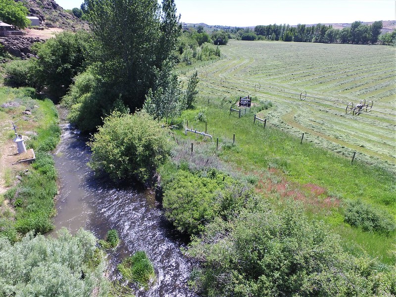
The amount of water in streams and rivers of Montana is measured using stream gages. Gages measure stage and/or discharge. Stage is a relative measure of the water level above a known point, while discharge is a measure of volume, or the actual amount of water flowing in a stream or river channel at a specific time. This information is used by local and regional planners for flood and drought forecasting and managing water rights. It is also important information for water users when planning for irrigation, recreation, and industrial discharge. Because this information is essential for so many purposes, there is a large network of stream gages across the state of Montana.
Stream gages are funded by various agencies and organizations, and for many of the gages, data are available online and in real time. The primary source of Montana’s stream flow data is a network of stream gages operated by the U.S. Geological Survey. Here in the Flathead, gages are funded by government agencies such as the U.S. Bureau of Reclamation and private organizations such as Energy Keepers, Inc. The data from these gages is used in decision making about the storage and timing of releases from Hungry Horse Reservoir and regulation and management of water levels in Flathead Lake and the lower Flathead River. The Flathead Conservation District funds a stream gage on the mainstem Flathead River at Foys Bend which provides important information for agricultural producers in the lower Flathead Valley.
The Montana Department of Natural Resources and Conservation recently created an online resource that describes the role of stream gages in managing Montana’s water. This interactive map provides information about Montana’s network of stream gages with links to more information and examples of how stream gage data are used across the state. You can use the map to drill down to individual gages, link to data collected at each site, and find out who is funding each gage. Visit the Montana Stream Gage StoryMap to discover the story of water in your corner of Montana and beyond!
Related Posts